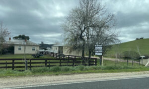
In June 1872, one of the largest debris flows ever recorded in Tasmania bellowed down the slopes of kunanyi / Mount Wellington and through Glenorchy, at a speed of around 55 kilometres per hour.

The location of the 1872 Glenorchy debris flow. Source: Tasmanian Geological Survey Record 2016/02.
Caused by heavy rainfall, it destroyed houses and killed a man attempting to save a property. It also left a scar on the mountain that is still visible today.
Debris piled up to 15 metres in some areas of Glenorchy.
In the aftermath of the landslide, the Mercury reported:
“Hundreds of acres of ground which a day to two before had gladdened the eye of the traveller as he passed through [Glenorchy], and admired the trim and neat appearance of the gardens and the luxuriance of the hop grounds and orchards, were now a desolate waste of mud and silt, with sheets of turbid water lying in patches over their surface, and trees of immense size cumbering the ground at short intervals.”
Modern mapping and modelling have ensured better preparedness in the event of another debris flow occurring.
Tas That Was is a column that includes:
- anecdotes of life in Tasmania in the past;
- historical photographs of locations in Tasmania; and/or
- documentaries about locations in Tasmania.
If you have an anecdote or photograph you’d like to share with us, please send it to [email protected].
Callum J. Jones studied English, History, and Journalism at the University of Tasmania. He has written fiction and non-fiction for Tasmanian Times since 2018, and can be traced by the smell of fresh coffee.
Follow him on Twitter (@Callum_Jones_10) and Facebook (@callum.j.jones.creative).


