
Tasmanian Times
Environment
-

 2.8K
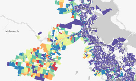
2.8KBushfire Risk Map – Glenorchy, Hobart, Kingborough
https://hobart.geoneon.com/explore-the-map The Bushfire Exposure Index, which is part of a larger project funded by the National Emergency Management Agency, focuses on the...
-
1.4K
Living With Fire Course
Media release – UTAS, 11 December 2023 Learn how to live with fire A free, online short course that explores the unpredictability...
-
1.6K
21 Red Handfish Hatched in Conservation Breeding Program
Media release – Institute for Marine and Antarctic Studies (IMAS), 29 November 2023 Baby love: 21 red handfish hatched in successful conservation...
-
1.6K
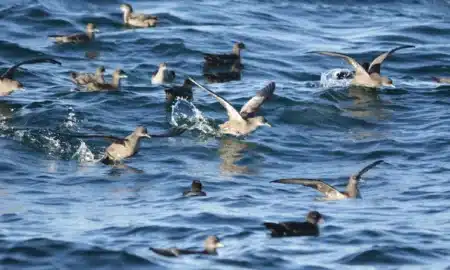
Why are Hundreds of Dead and Dying Seabirds Washing Up on Beaches?
In October and November, horrified beachgoers often find dead and dying muttonbirds washing up in an event called a seabird “wreck”. Again...
-
1.9K
Launch of the Nature Connection Storytelling Project
Media release – UTAS, 16 November 2023 Launch of the Nature Connection Storytelling Project How do you connect with nature? A national...
-
1.3K
IMAS Donates Materials to Bonorong
Media release – Institute for Marine and Antarctic Studies (IMAS), 15 November 2023 From building waste to wildlife sanctuary: IMAS donation to...
-
4.6K
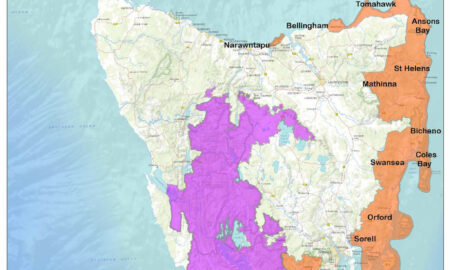
Fire & Campfire Restrictions Now in Place
Media release – Tasmania Parks and Wildlife Service, 20 October 2023 Campfire restrictions to apply in national parks and reserves Tasmania Parks and...
-
1.5K
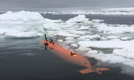
New Blueprint for Southern Ocean Survival
Media release – UTAS, 18 October 2023 Sea change: new blueprint for Southern Ocean survival More than 200 scientists from 19 countries...
-
1.2K
Skal Hobart Supporting Pennicott Foundation’s Sustainability Projects
Media release – Skål International Hobart, 17 October 2023 Skal Hobart supporting Pennicott Foundation’s sustainability projects Skål International Hobart is proud to...
-
2.2K
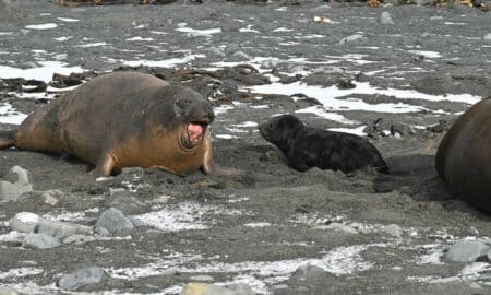
Annual Elephant Seal Count Underway
Media release – Department of Natural Resources and Environment Tasmania, 16 October 2022 Macquarie Island’s annual elephant seal count underway Tasmania Parks and...